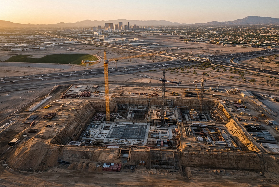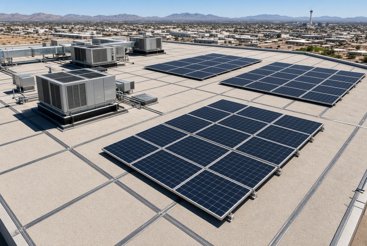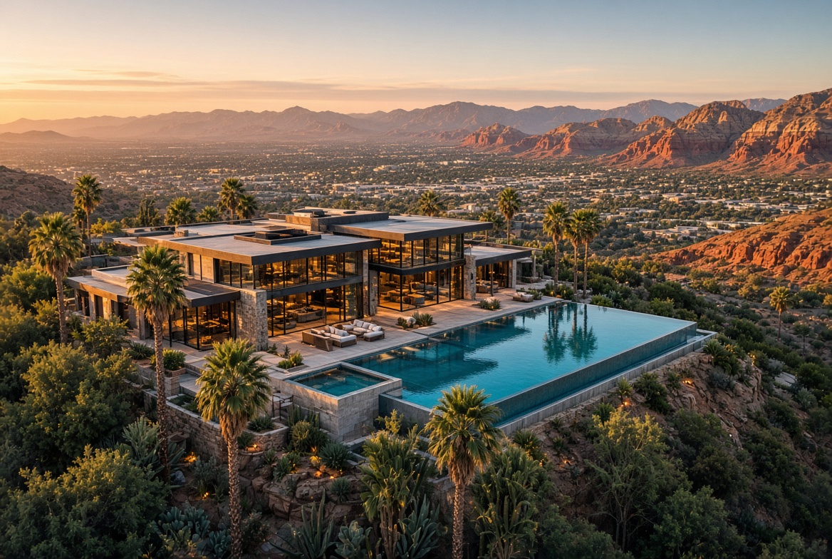

Surveying & mapping
The Matrice 4E was built for this: 0.5-second interval capture, 3-directional ortho, and 5-directional oblique for façades. Typical survey altitude delivers around 3 cm GSD. Data is planned for DJI Terra and standard photogrammetry pipelines.